Authentic WW1 & WW2 German Militaria

WW2 German 1943 Kriegsmarine Navy Sun Moonlight Night Operations Graphical Chart
Original price was: $99.99.$79.99Current price is: $79.99.
1 in stock
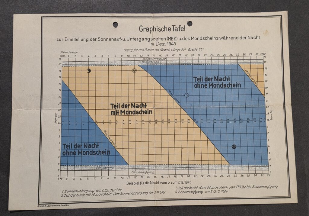
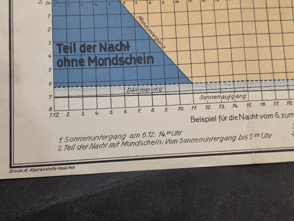
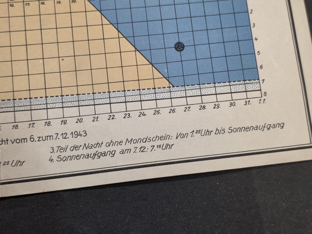
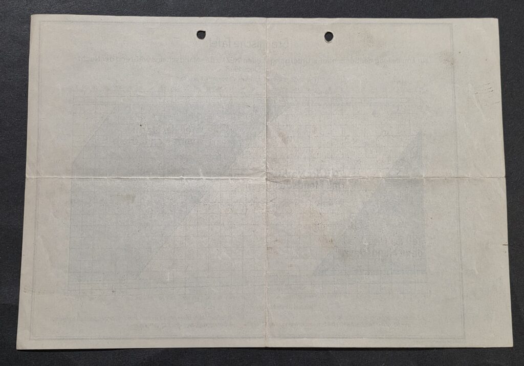
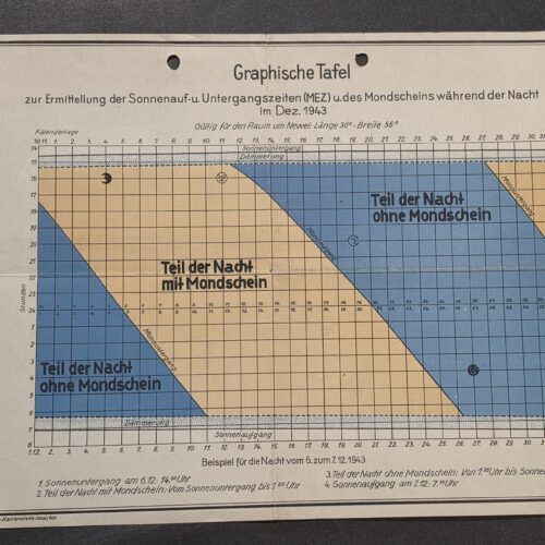
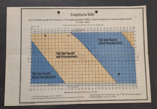
Original WWII-era German Kriegsmarine “Graphische Tafel” dated December 1943, measuring approximately 11 x 8 inches.
This unusual military reference chart for the German Navy was designed for determining sunset, sunrise, twilight, and periods of moonlight or darkness during nighttime hours. It is specifically marked:
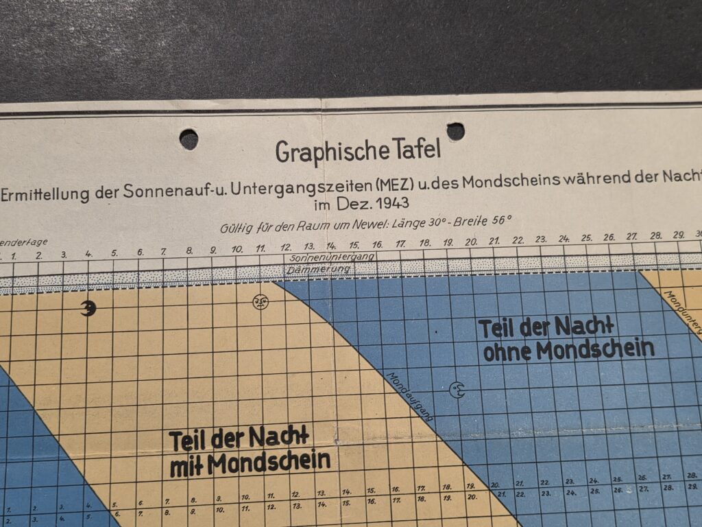
“Gültig für den Raum um Newel: Länge 30° – Breite 56°”
Translation: “Valid for the area around Nevel: Longitude 30° – Latitude 56°.”
Nevel (Nevеl) is in western Russia, an area that saw significant fighting on the Eastern Front during late 1943. The chart would have provided practical nighttime illumination information useful for planning movements and other Naval operations.
The main heading translates as:
“Graphical Table for determining the times of sunrise and sunset (Central European Time) and moonlight during the night in December 1943.”
The color-coded chart identifies:
“Teil der Nacht mit Mondschein” – Part of the night with moonlight
“Teil der Nacht ohne Mondschein” – Part of the night without moonlight
“Mondaufgang” – Moonrise
“Monduntergang” – Moonset
“Sonnenaufgang” – Sunrise
“Sonnenuntergang” – Sunset
“Dämmerung” – Twilight
An example printed along the bottom explains how the table was used for the night of December 6–7, 1943, including sunset at approximately 14:30, the moonlit portion of the night, the period without moonlight, and sunrise at approximately 7:15.
The lower-left printing notation reads approximately “Druck: K.-Kartenstelle (mot) 401”, indicating printing/production through a German military mapping/cartographic office or unit.
Two original punched mounting/file holes are present along the upper edge. The sheet has period folds, handling wear, light toning and minor age-related marks as shown. The blue and tan printed areas remain especially attractive and display well.
A very interesting Kriegsmarine dated Eastern Front field reference chart combining military cartography, astronomy, moon phases and nighttime operational planning.
Size: Approx. 11 x 8 inches
Date: December 1943
Area: Nevel / Eastern Front
Condition: Original used condition; folds, punched holes and normal age/handling wear. Please examine all photographs for exact condition.
Ships carefully packed. We combine shipping and ship every day, including Saturdays.
SEO Keywords: WWII German military chart, 1943 Nevel Russia, Kriegsmarine document, Eastern Front document, German military map, Wehrmacht chart, moonlight chart, sunrise sunset table, moon phase chart, military astronomy, night operations, German field document, December 1943, wartime cartography, WW2 paper collectible, original German document, Kriegsmarine naval operations.
TRSF-2
Related products
WW2 Nazi German Viktoria Steel Helmet Stamp Card with Hitlers Birthday Cancel
Original price was: $7.99.$5.00Current price is: $5.00.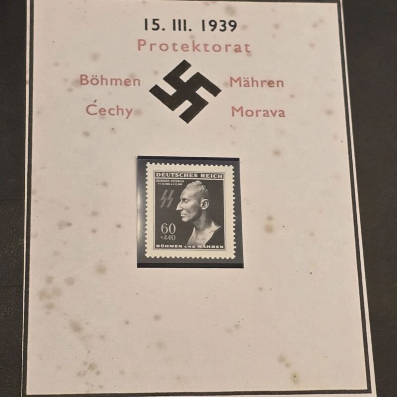
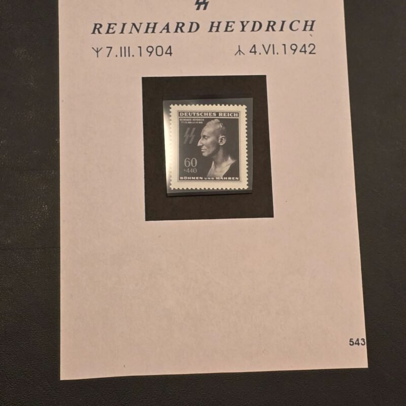
WW2 Nazi German Bohmen Mahren Czech SS Reinhard Heydrich Death Mask Stamp w Card
Original price was: $14.99.$12.99Current price is: $12.99.
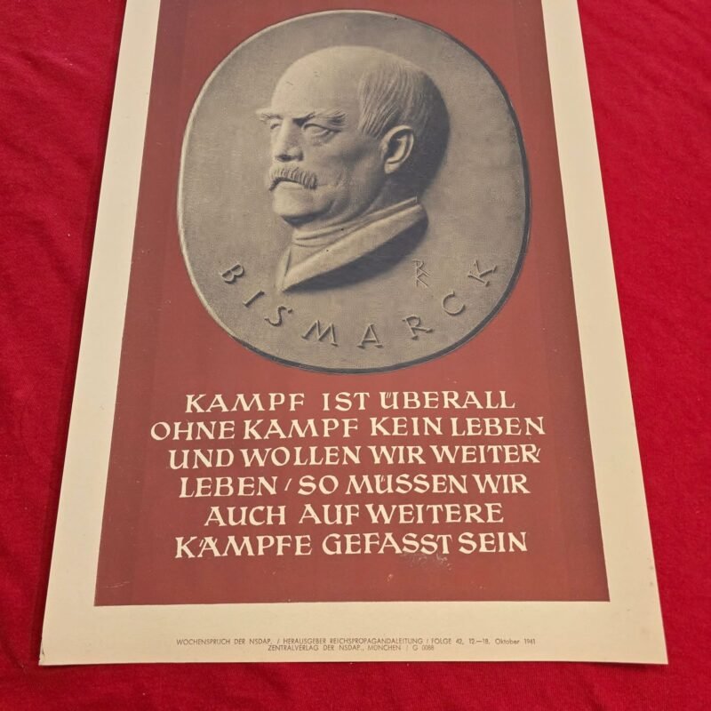
WW2 Nazi German Third Reich NSDAP Bismarck Poster Print Wochenspruch Wall Newspaper
Original price was: $25.00.$18.00Current price is: $18.00.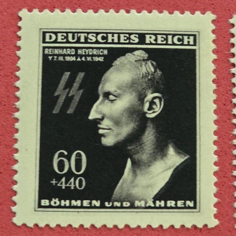
Reviews
There are no reviews yet.